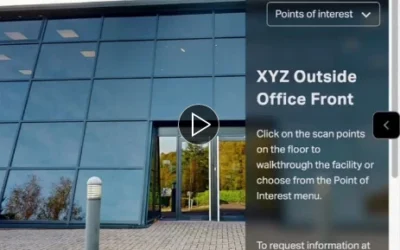
How a 3D Virtual Showroom Helps Machine Tool Buyers Review Equipment Remotely
This artice posted on LinkedIn speaks about our involvement with producing the virtual tour of their extensive facilities - contact us to find out more.
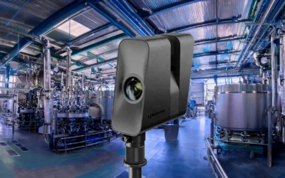
3D site capture for AEC
Why 360° / 3D Tours Matter on Real Projects Stop imagining the site. See it. Decide. If you lead design, manage construction, or carry estates responsibility, you already produce excellent drawings and specifications. Where projects wobble is not the model – it’s the...

Benefits of Google Street View for Businesses
Publishing a Google Street View tour lets customers see your business before they visit, directly from Google Search and Google Maps. For many organisations, it’s one of the simplest ways to improve visibility, trust and engagement online. Increased Visibility...

See How It Works: A Simple Guide to 360 Virtual Tours
You’ve probably seen 360° virtual tours online — the kind where you can click, move and explore a space as if you’re there. But how do they actually work, and why are so many businesses using them to showcase their spaces? At EC2XR, we create interactive 3D virtual...

LiDAR Scanning for Commercial Insurance
EC2XR provides LiDAR-based 3D scans and virtual tours that give insurers, adjusters and restoration teams an exact visual record of commercial properties. From warehouses and retail units to offices, schools, hospitality spaces and industrial sites, LiDAR scanning...

A Smarter Way To Document Home Damage
When something goes wrong at home — a leak, a fire, a storm, or unexpected structural damage — the last thing anyone wants is a complicated insurance process. The challenge is simple: insurers need clear evidence, accurate measurements and reliable information, while...

3D Virtual Tours for Manufacturing & Construction
EC2XR creates accurate, interactive 3D tours/Digital Twins for manufacturing sites, warehouses, engineering facilities and construction projects. These digital walkthroughs give teams a precise, up-to-date view of the environment — ideal for planning, training,...

LiDAR and 360° Photography – what’s the difference?
LiDAR (Light Detection and Ranging) uses laser pulses to measure distance and create an accurate 3D model of a space. It records real geometry rather than just images. As it records both distance and light, the results are, however, subjectively ‘photographic’,...

What is LiDAR scanning?
LiDAR – short for Light Detection and Ranging – is a technology that measures distance by firing rapid pulses of laser light and recording how long they take to return. When millions of these measurements are combined, they create a precise 3D map of a real-world...

EC2XR in Ancient Greece
Usually we’ll be found spinning-out 360s in and around the London area, but just occasionally we get let loose in some amazing international destinations. On this occasion EC2XR founder Tony Pincham was busy capturing all-round vistas of the Greek capital. The...