3D Virtual Tours for Manufacturing & Construction

Clear visibility. Better planning. Fewer site visits.

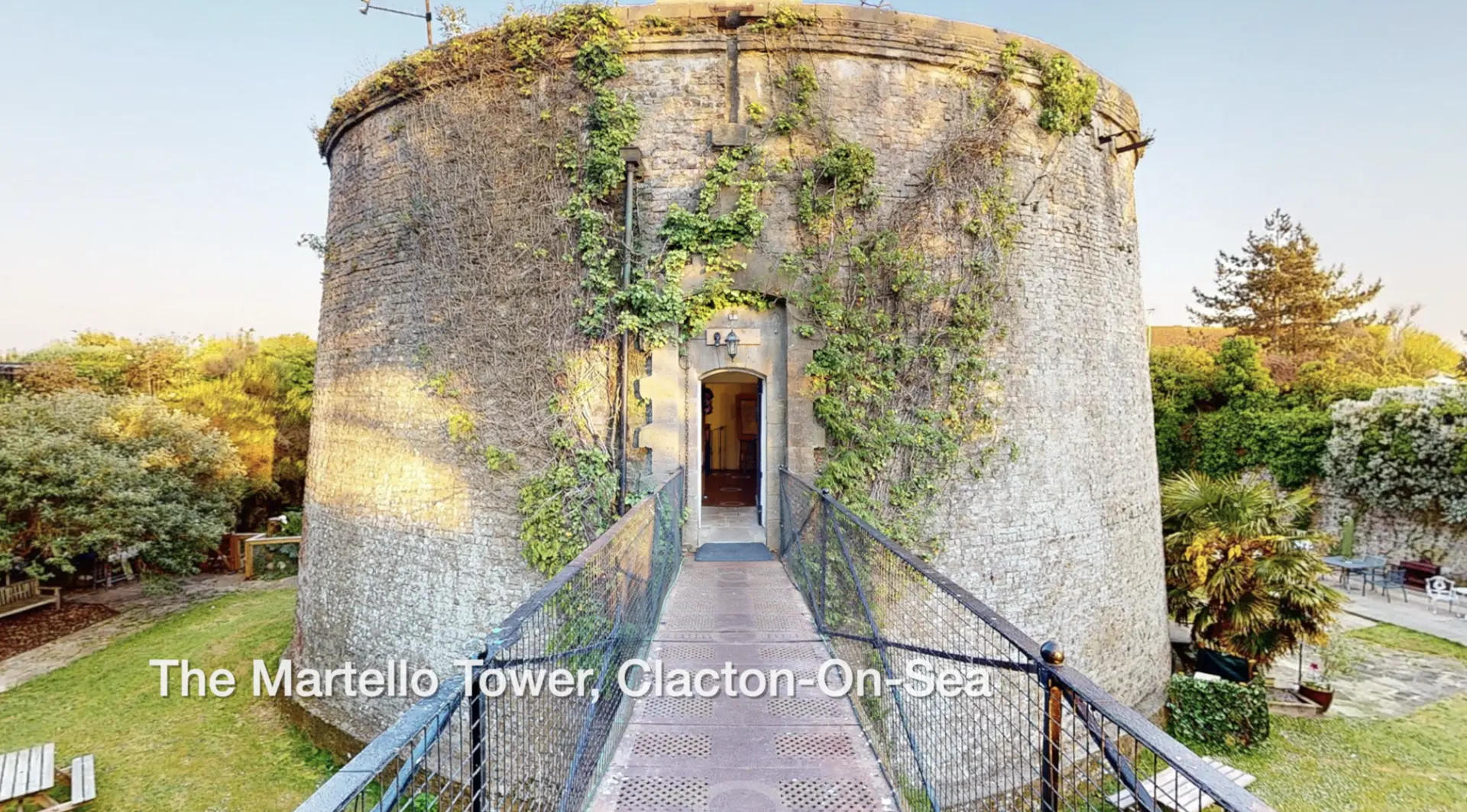
EC2XR creates accurate, interactive 3D tours/Digital Twins for manufacturing sites, warehouses, engineering facilities and construction projects. These digital walkthroughs give teams a precise, up-to-date view of the environment — ideal for planning, training, auditing and stakeholder communication.

We use a blend of technologies, including Matterport, LiDAR scanning and 360° imaging, selecting the right approach for the layout, scale and required level of detail.

Why Manufacturing Teams Use 3D Tours

  1. Rapid familiarisation for staff, contractors and auditors

A digital walkthrough gives new personnel a clear understanding of routes, access points, hazards and workflows before they step on site. Reduces time spent escorting visitors and improves safety briefings.

  1. Reduced site visits

Send a link instead of arranging a visit. Ideal for remote stakeholders, design teams, insurers, equipment suppliers and compliance partners. Fewer interruptions to production and a quiet ESG gain.

  1. Accurate documentation of plant, equipment and layouts

Capture the current state of your facility for maintenance planning, audits, insurance, or change management. A visual record helps avoid disputes and accelerates decision-making.

  1. Integration with technical workflows

For engineering and design teams, we can supply:

  • E57 point clouds – accurate geometry for CAD, BIM and clash detection
  • OBJ models – suitable for visualisation, design and equipment planning
  • MatterPak bundles – for architects and surveyors needing structured assets

These outputs provide a reliable starting point for upgrades, expansions or refits.

  1. Training and onboarding

Use the tour to demonstrate safe routes, emergency access, isolation points, or standard operating layouts. Embedding video, images and documentation keeps training consistent across teams and shifts.

Why Contractors & Construction Teams Use 3D Tours

  1. Clear communication with clients and project teams

A 3D tour gives everyone a shared, accurate visual reference. Misunderstandings drop; decisions speed up.

  1. As-built documentation and progress capture

Record work at key stages — ideal for tracking progress, verifying installation, and supporting claims, variations or handover packs.

  1. Reduced risk for remote stakeholders

Clients, designers, QS teams and consultants can inspect the site without travelling, cutting delays and keeping the project moving.

  1. Seamless integration with design tools

E57/OBJ outputs slot into BIM models, coordination platforms and planning software, making it easy to review deviations, check clearances and plan the next stage.

Simple, Non-Disruptive Process

Scan → Build → Review → Share
Most industrial and construction sites can be scanned in a single visit without halting operations.

Talk to EC2XR

Whether you need a clear digital record, a planning tool, or a site-safe way to onboard staff and contractors, we’ll choose the right scanning method — Matterport when it fits, LiDAR when you need precision, and 360° imaging where speed is the priority.


More reading:

Construction Management using Digital Twins

Smart Building Control with Digital Twin • IoT • FM • Assets • Maintenance

LiDAR and 360° Photography – what’s the difference?

Side-by-side comparison chart showing features of LiDAR scanning and 360° photography including interactive walkthroughs, media embedding, and file outputs.

LiDAR and 360° both create beautiful, photo-real 3D virtual tours

LiDAR (Light Detection and Ranging) uses laser pulses to measure distance and create an accurate 3D model of a space. It records real geometry rather than just images. As it records both distance and light, the results are, however, subjectively ‘photographic’, immersive and rich in detail.

360 photography produces a visual sphere from a single point, producing a high-resolution panorama. Using specialist software, several such panoramas can be joined together to create a virtual 3D walkthrough/virtual 360 tour. {in LIDAR the images are wrapped around the scan data producing a true 3D model}.

Both approaches can produce extremely high-quality results, LiDAR can feel more ‘real’ whereas professionally produced 360 photography can offer higher resolution at time of capture. For many applications, once the virtual tour has been output for screen, the differences to the viewer are subjectively negligible.

The main advantages of LiDAR are its accuracy, sharable data and its support for .E57 and .OBJ file exports for architects, designers and contractors. It also offers the ability to measure spaces and objects precisely within the 3D model.

For these reasons LiDAR-based scanning is preferred for BIM (Building Information Modeling) applications and is widely used in AEC (Architecture, Engineering and Construction). It also, however, produces excellent results for marketing and promotional uses.

The files from both LiDAR and photographic panoramas can be edited after the event. This involves extracting portions of the virtual tour/model, making the necessary changes and re-inserting them, so it’s not quite as simple as editing, say, a jpeg in Photoshop. It can be time-consuming and therefore costly. Far better to tidy-away those cardboard boxes in the corner of the room at the time of shooting!

At EC2XR we use both LiDAR lasers (Matterport), One shot 360 cameras, DSLRs and robotic Gigapixel rigs, employing whichever technology is the best fit for a given assignment. Sometimes we combine them.

It’s fast-moving tech – but we always stay up-to-date!

What is LiDAR scanning?

Recreating your spaces with precision and realism

LiDAR – short for Light Detection and Ranging – is a technology that measures distance by firing rapid pulses of laser light and recording how long they take to return. When millions of these measurements are combined, they create a precise 3D map of a real-world environment.

Unlike conventional 3D video, which captures flat imagery from a single viewpoint, LiDAR builds an accurate spatial model. Every wall, surface, pipe and cable exists in measurable digital form – not just as pixels, but as data points that describe real geometry.

At EC2XR, we use both LiDAR and, where applicable, conventional 360 systems to scan buildings, industrial sites and heritage spaces. The result is a true digital twin – one that can be explored interactively or exported as .E57 or .OBJ files for design and analysis.

Benefits of LiDAR scanning

  • Unmatched accuracy:
    Captures dimensions to within millimetres, vital for architectural, engineering and construction workflows.
  • Speed and efficiency:
    Large or complex spaces can be surveyed in hours rather than days, cutting downtime and travel costs.
  • Versatility:
    Works indoors or outdoors, in bright or low light, and records detail that conventional cameras simply miss.
  • Integration with design tools:
    The resulting point cloud can be imported directly into CAD, BIM or project-planning software.
  • ESG advantage:
    Reduces the need for multiple site visits, saving fuel, emissions and time.

While 3D video can showcase a space beautifully, LiDAR adds precision and permanence. It turns visual storytelling into actionable spatial intelligence – helping teams plan, coordinate and verify work with complete confidence.

If this has piqued your interest please feel free to contact us to discuss your project (or just to find out more).


EC2XR in Ancient Greece

Tourists walking towards the Parthenon in Athens, Greece, under a partly cloudy sky.

All-round Athens

Usually we’ll be found spinning-out 360s in and around the London area, but just occasionally we get let loose in some amazing international destinations. On this occasion EC2XR founder Tony Pincham was busy capturing all-round vistas of the Greek capital.

The historic temple looming over Athens is the Parthenon (sometimes confused with the Acropolis, the hill on which the structure stands). Socrates, Plato and Aristotle would have been visitors, more than 2000 years ago. Although the ancient Greeks were smart people, they hadn’t figured out cameras, let alone 3D ones. If they had, it would have been largely pointless as we’re pretty sure there was no video editing software available at the time.

They really did know how to build a temple though and, incidentally, are also credited with developing the first central heating systems, the catapult and the alarm clock. So although they couldn’t produce 360 virtual tours around 300BC, they kept warm and woke up on time in the mornings.


#Acropolis #Parthenon #Athens #360photography #360video #VirtualTour #EC2XR


Fort For Sale

Martello Tower F, Clacton-on-Sea

We recently provided a 3d virtual tour of Martello Tower F, in Clacton-On-Sea. Tendring Council, who own the historic landmark, announced in September it was “…open to offers from people who wanted to lease it”. Interviewed by the BBC, spokesman Will Lodge said; “It is a fantastically unusual property to have on the market.”

The tower is one of 43 left standing from the original 103 built in the early 19th century to defend UK shores against potential invasion by Napoleon’s forces.

This short video shows how such a space can be captured, explored and experienced remotely.